Google Photos knows what you did last summer... and where you went to do it.
What you need to know
- Google Photos map view now includes pathways to show where you went.
- The map view was launched back in June as part of the new app redesign.
- Users are able to disable location tracking within the app.
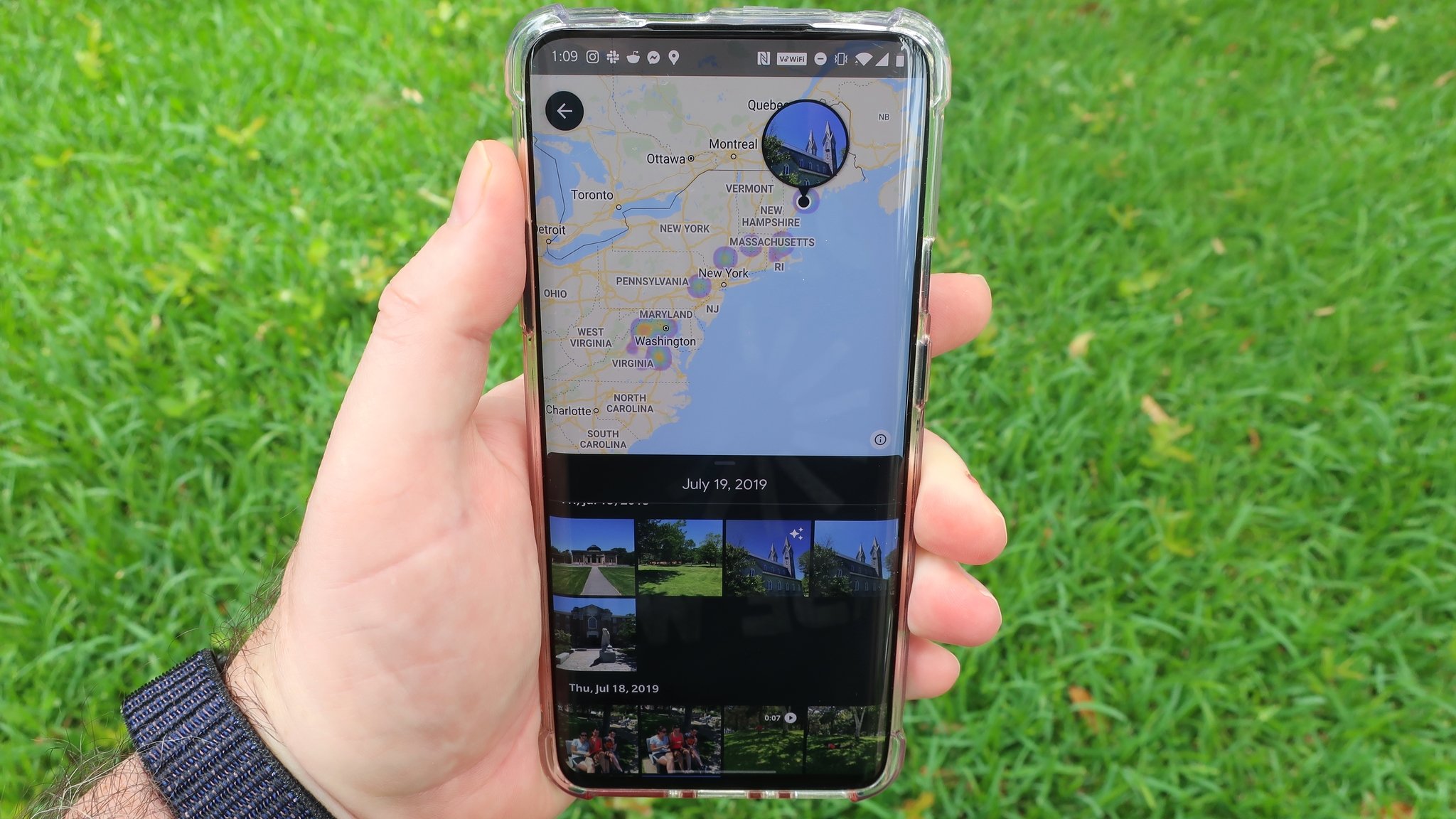
A redesign of the Google Photos app was launched over the summer, which brought with it a new simplified three-tab view for Photos, Search, and Library. In addition to a simpler view with larger icons and easier navigation, a new feature was introduced in the Search tab called Your Map. While Google Photos already included a way to search for photos by location this takes things a little further by showing you your photos on an interactive map with visible hotspots to show where photos were taken. It was already a cool feature that definitely set the app apart from some of the best Google Photos alternatives, but Google apparently felt the need to expand on a bit.
Now when you zoom far enough into your map view, it will show you the pathways that you traveled between photos. Depending on how you look at it, it's a neat feature, and can help you relive the journey of last summer's hike. That is, assuming it gets the location information correctly.
Google Photos does a fairly decent job at capturing the location data from a hike several months ago, but seem as clean as Google Fit's representation of the same hike. Results may vary, of course. Still, it's a cool way to not only see where you captured your photos, but also the ways in which you reached your destination.
Of course, users who are not so keen to have their location so closely monitored within the Google Photos app can turn the tracking off, and we have a pretty simple guide that explains how to remove location data from photos on Android.
Get More Pixel 5
Google Pixel 5


0 Response to "You Can See More: Google Photos takes map view a step further by showing your pathways"
Post a Comment